Log in
All resources
Create a design
52,119 Free Images of Old Celestial Maps
maps made in the 17th century
maps by pieter schenk (i)
gerard valck
atlantis magni tomus secundus (biblioteca comunale di trento)
atlantis magni tomus tertius (biblioteca comunale di trento)
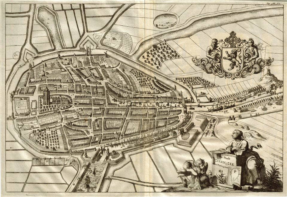
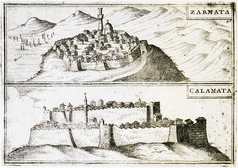
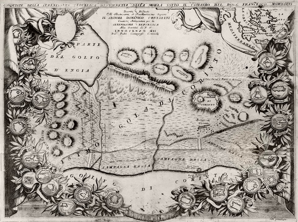
geographical illustrations by coronelli
old maps of the peloponnese
old maps of rennes
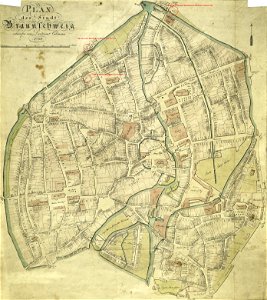
old maps of braunschweig
collections of stadtarchiv braunschweig
maps made in the 17th century
lochaber
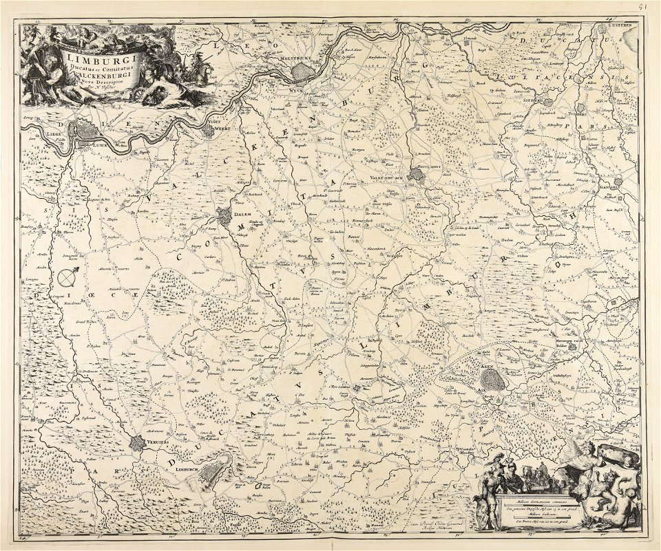
maps made in the 17th century
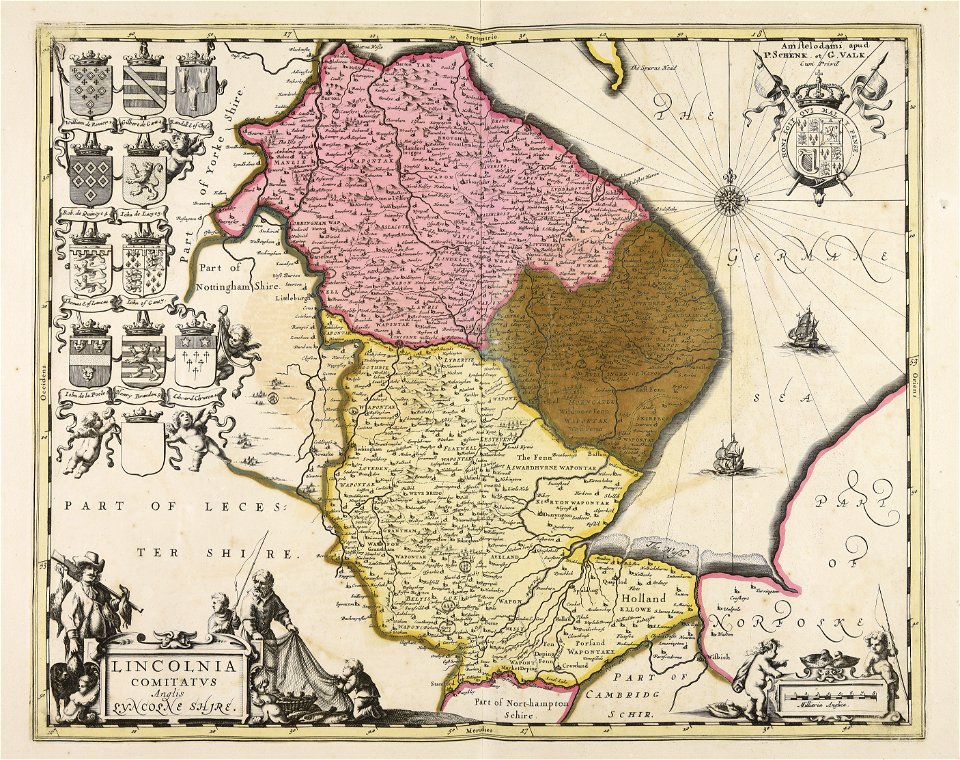
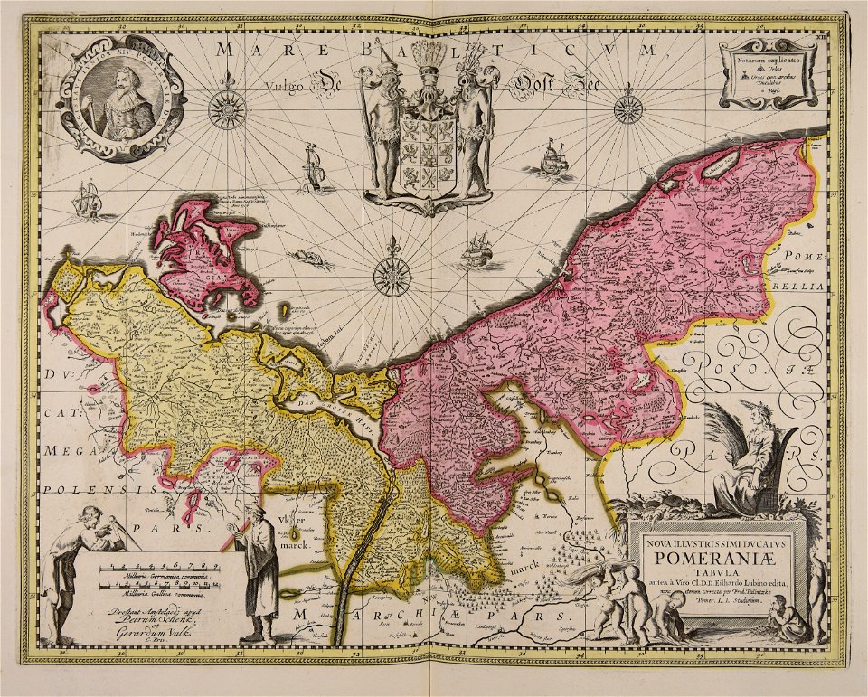
gerard valck
maps made in the 17th century
gerard valck
maps made in the 17th century
gerard valck
maps made in the 17th century
gerard valck
maps made in the 17th century
gerard valck
maps made in the 17th century
gerard valck
maps made in the 17th century
gerard valck
maps made in the 17th century
gerard valck
maps made in the 17th century
gerard valck
maps made in the 17th century
gerard valck
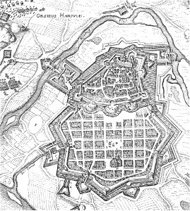
olomouc fortress
1644
maps made in the 17th century
gerard valck
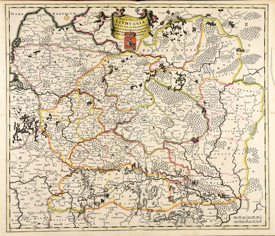
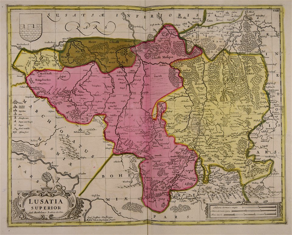
old maps of the grand duchy of lithuania
maps made in the 17th century
maps made in the 17th century
gerard valck
maps made in the 17th century
gerard valck
maps made in the 17th century
gerard valck
fonds ancely - bibliothèque municipale de toulouse - maps
coats of arms of cities in orne
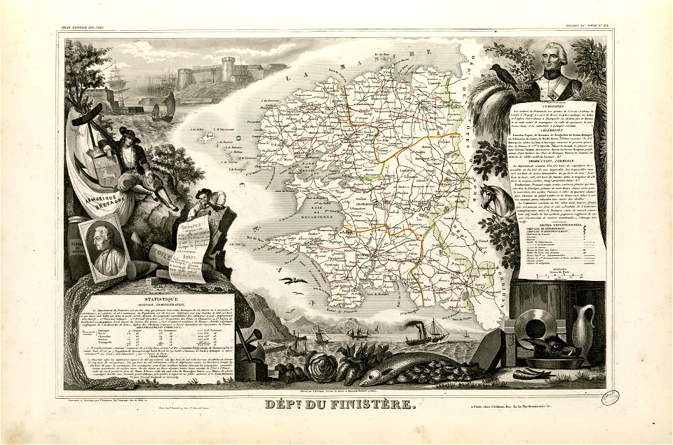
coats of arms of cities in finistère
axes in art
maps made in the 17th century
gerard valck
water transport in vyborg
lucas janszoon waghenaer
coats of arms on maps
guelder
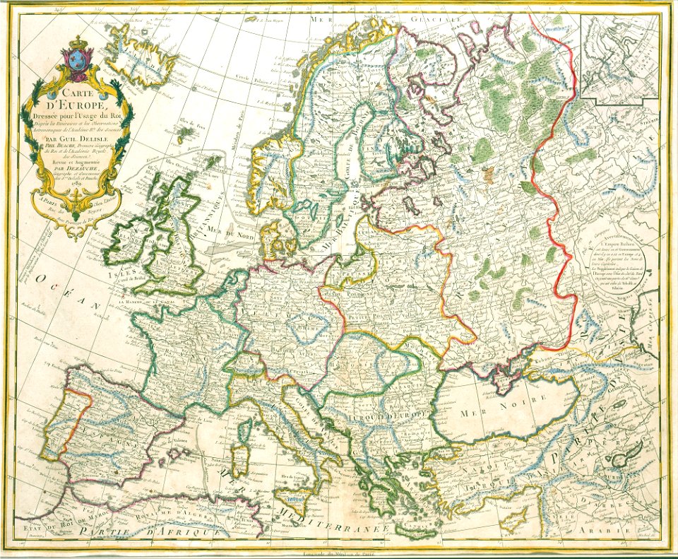
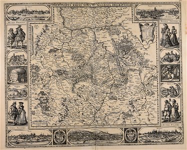
old maps of europe
1789 maps
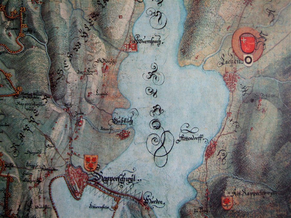
historical images of rapperswil
mariazell wurmsbach abbey
old maps of île-de-france
1855 in paris
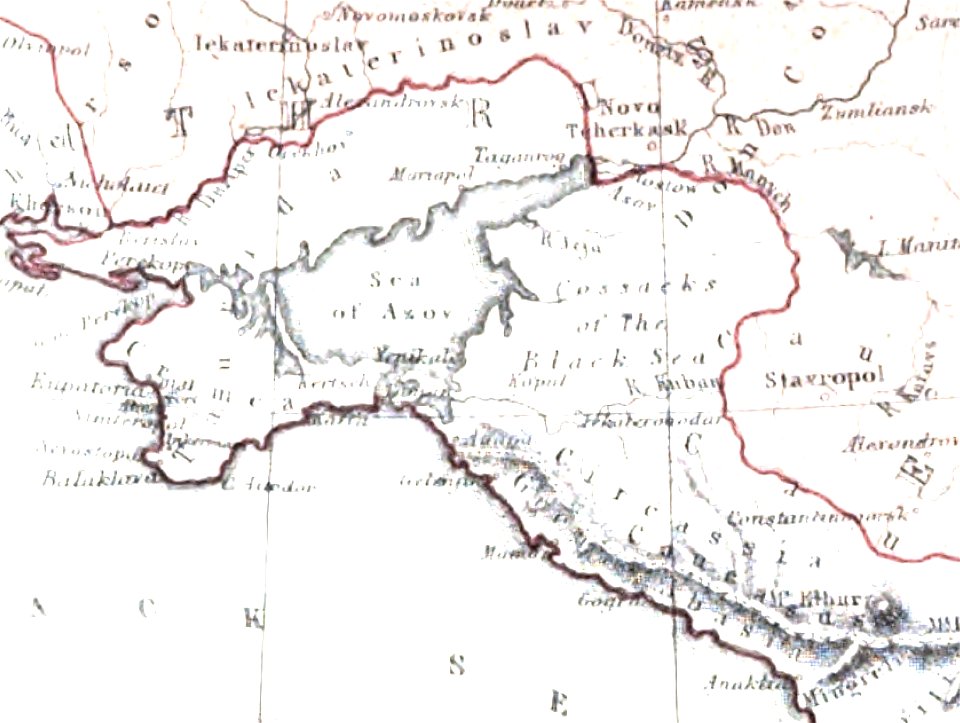
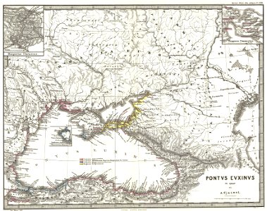
old maps of the sea of azov
maps of circassia
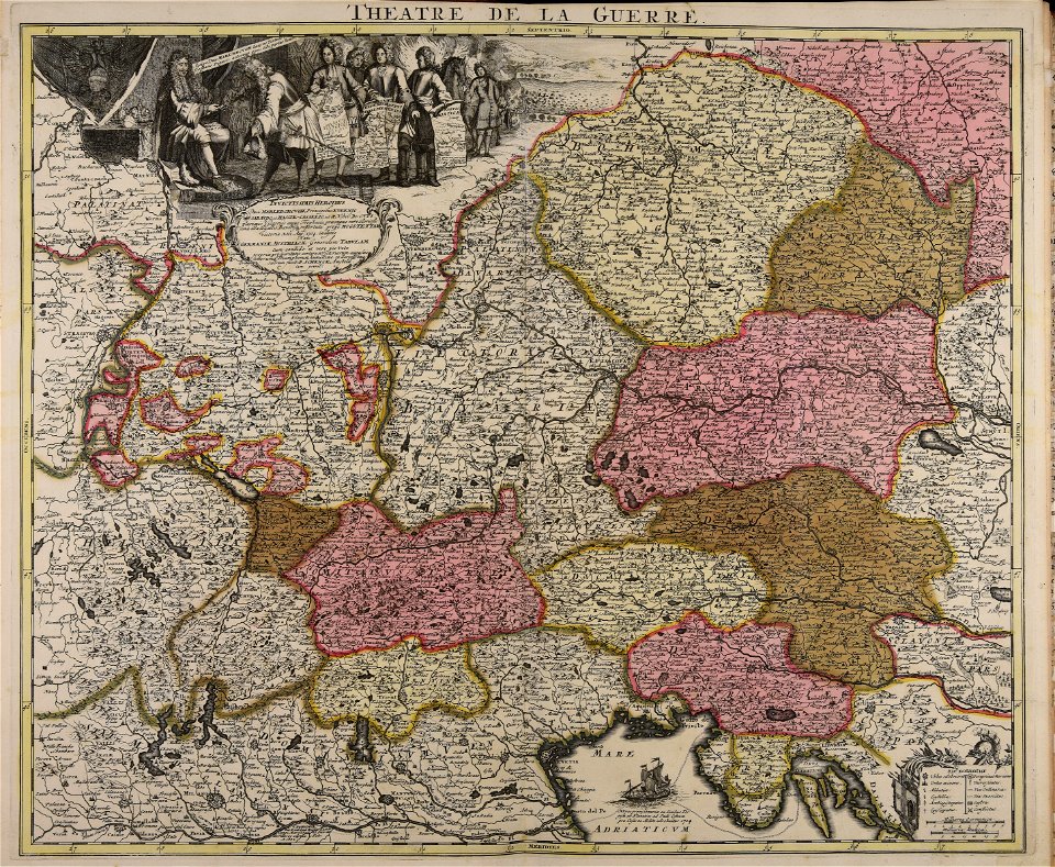
maps made in the 18th century
old maps of europe
old maps of nile delta
1821 books
19th-century maps of the caucasus
karl spruner von merz
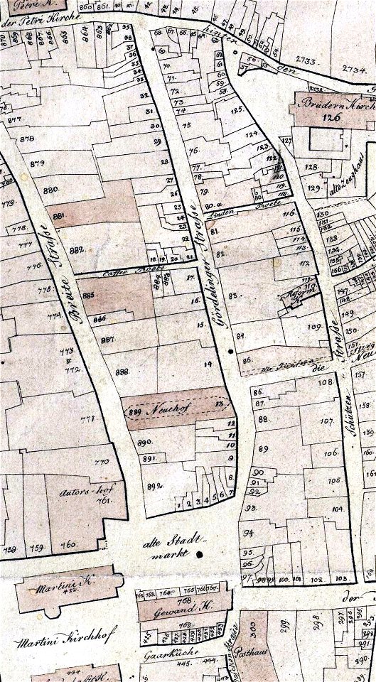
collections of stadtarchiv braunschweig
old maps of braunschweig
collections of stadtarchiv braunschweig
old maps of braunschweig
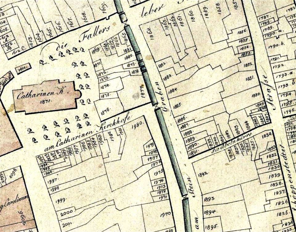
collections of stadtarchiv braunschweig
old maps of braunschweig
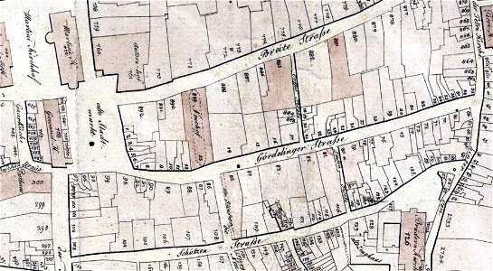
collections of stadtarchiv braunschweig
old maps of braunschweig
collections of stadtarchiv braunschweig
old maps of braunschweig
engravings by jan luyken
1696
geographical illustrations by coronelli
old maps of the peloponnese
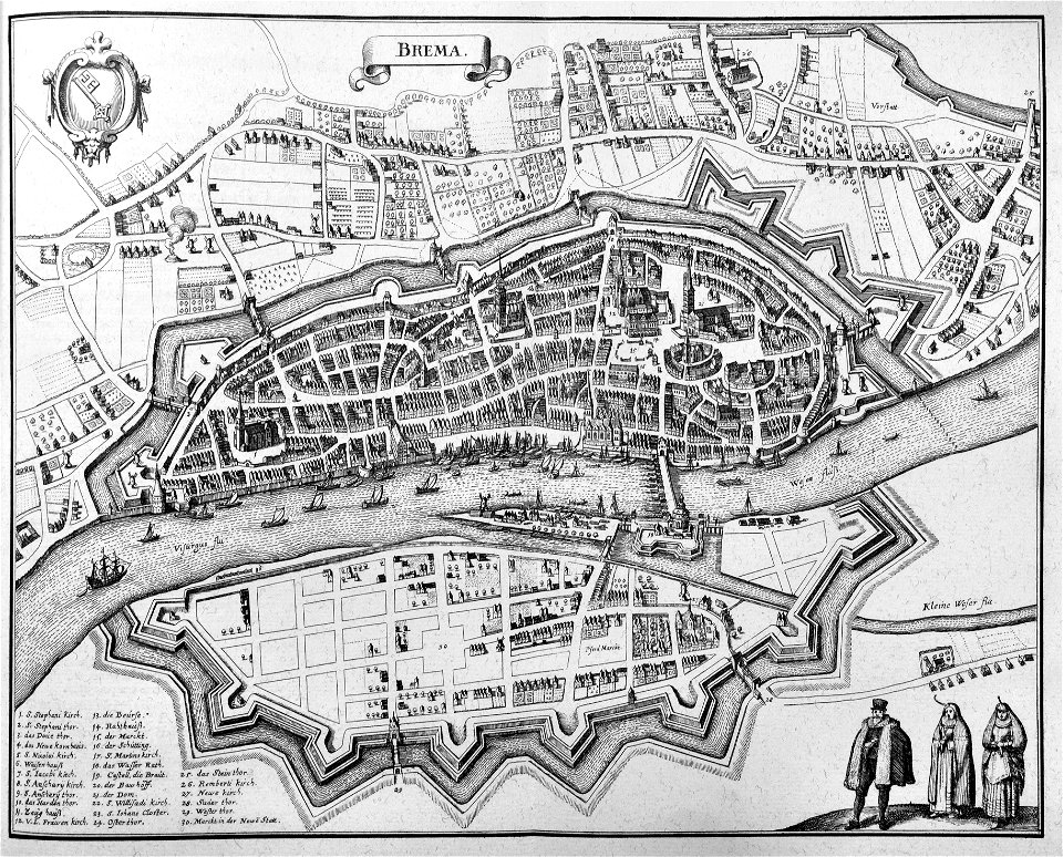
old maps of bremen (state)
bremen in the 1650s
atlas de wit 1698
frederick de wit
old maps of dokkum
atlas de wit 1698
geographical illustrations by coronelli
old maps of the peloponnese
geographical illustrations by coronelli
old maps of the peloponnese
geographical illustrations by coronelli
old maps of the peloponnese
files from the bodleian libraries
old maps of the azores
voyage pittoresque ou description des royaumes de naples et de sicilie
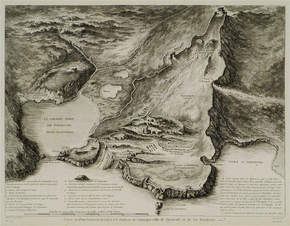
old maps of syracuse
geographical illustrations by coronelli
antirrio
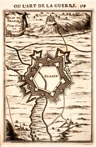
prints from manesson travaux de mars at the peace palace library
old maps of toul
prints from manesson travaux de mars at the peace palace library
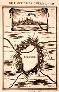
old maps of diksmuide
volume 5 of le tour du monde
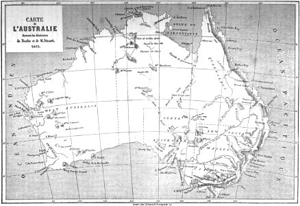
old maps of australia
volume 1 of le tour du monde
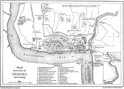
old maps of shanghai
old maps of the canary islands
description de l'universe
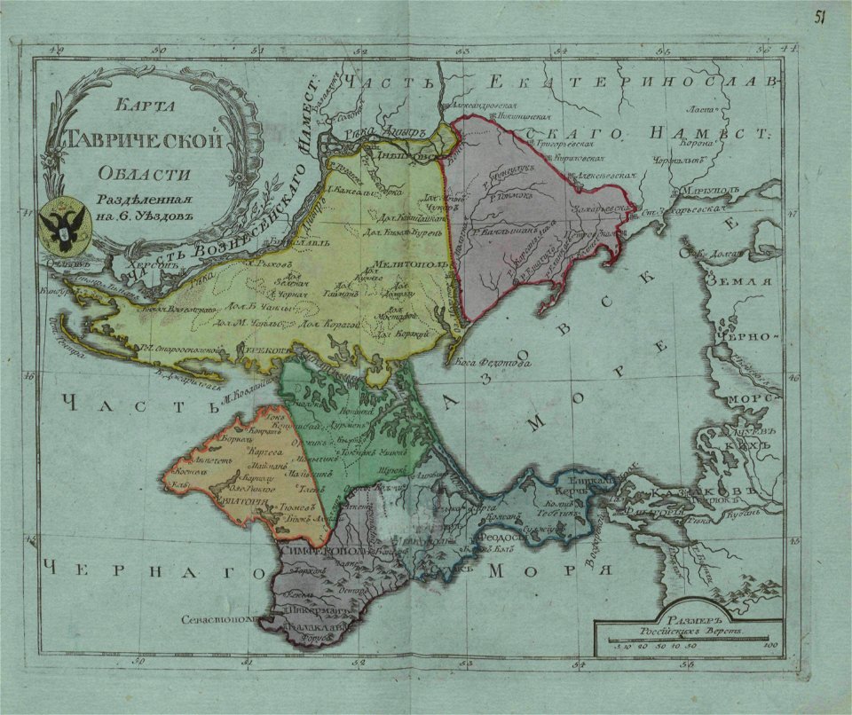
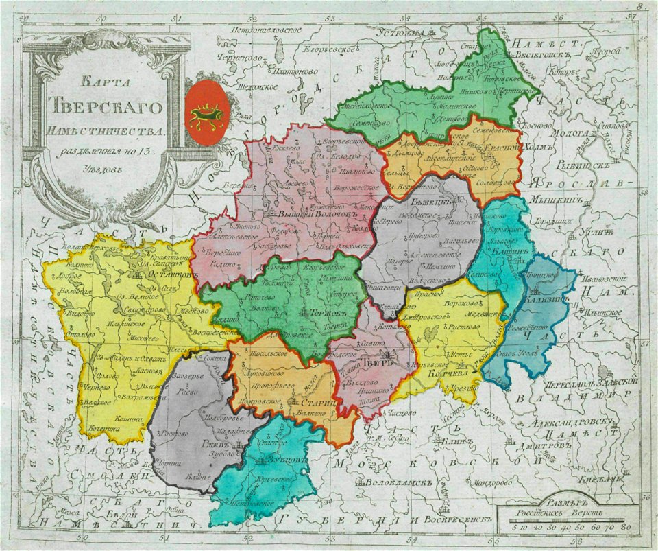
old maps of oblasts of the russian empire
small atlas of the russian empire (1796)
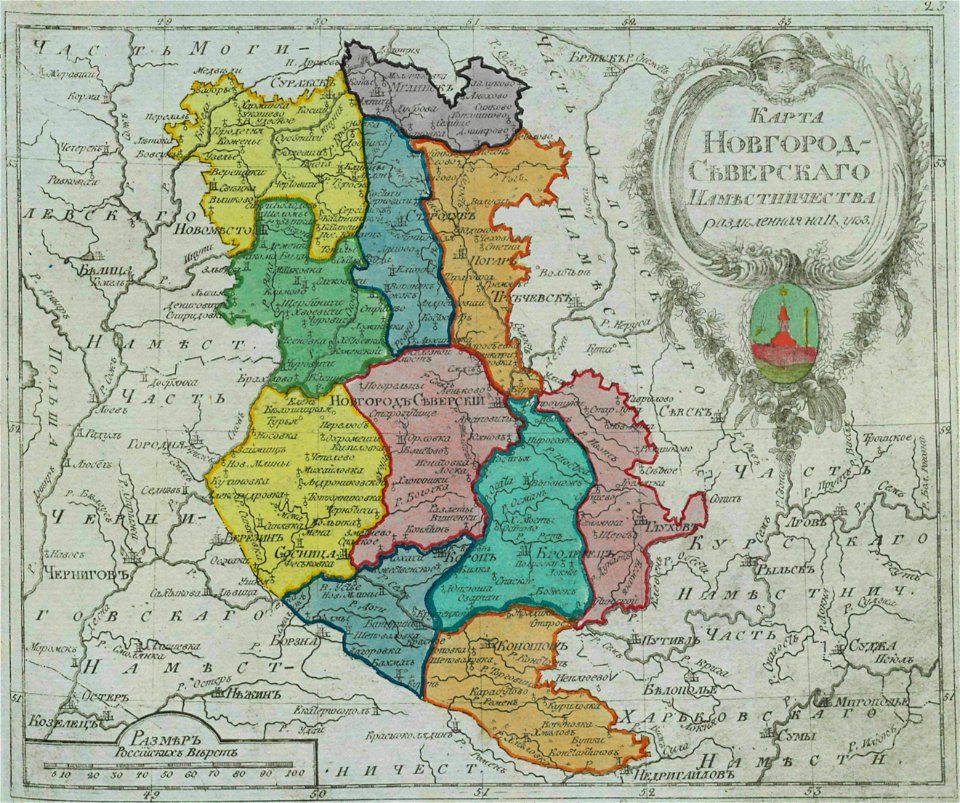
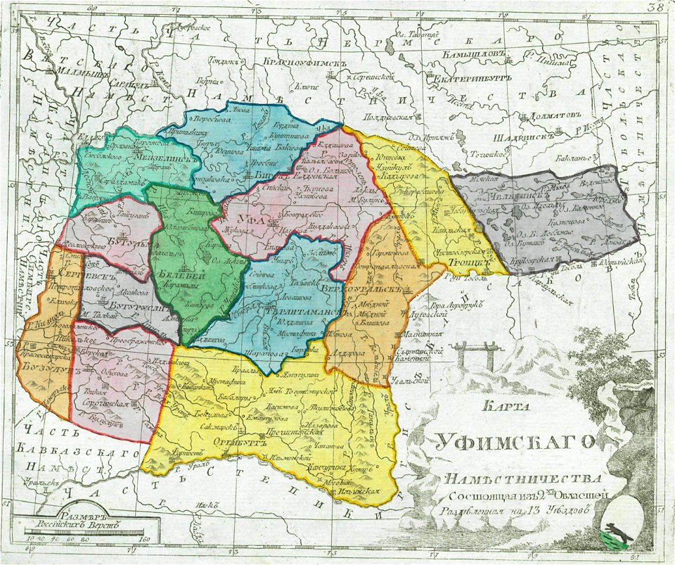
old maps of governorates of the russian empire
small atlas of the russian empire (1792)
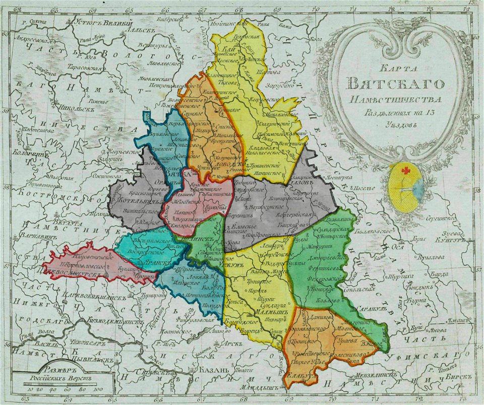
old maps of governorates of the russian empire
small atlas of the russian empire (1792)
old maps of governorates of the russian empire
small atlas of the russian empire (1792)
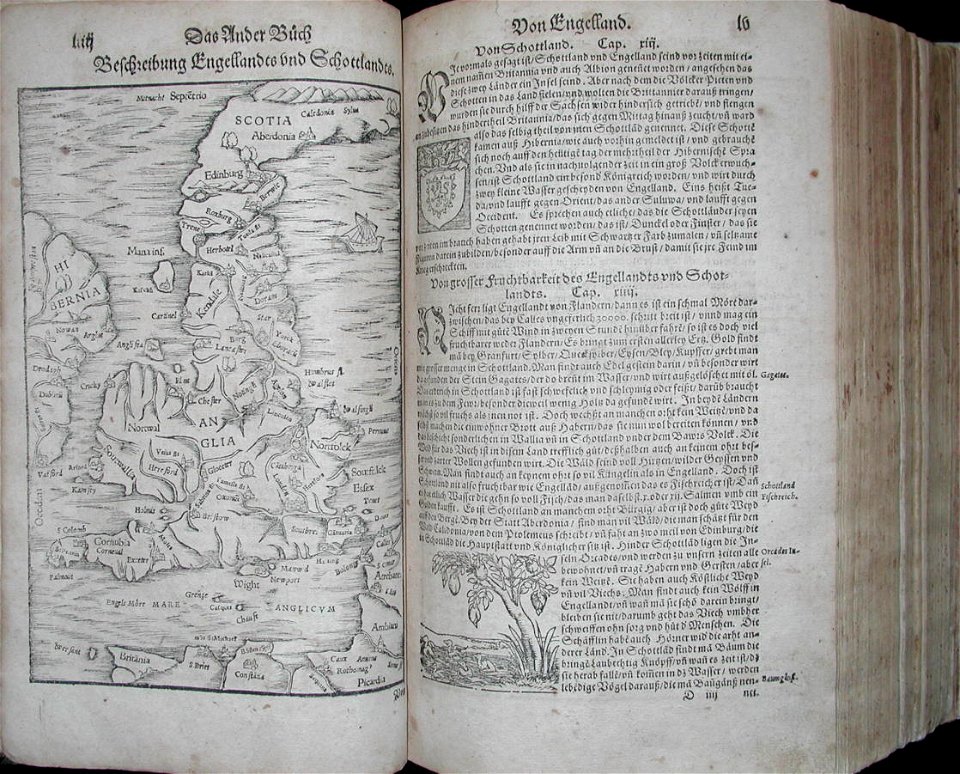
illustrations of cosmographia (münster)
old maps of the british isles
old maps of governorates of the russian empire
small atlas of the russian empire (1792)
volume 8 of le tour du monde
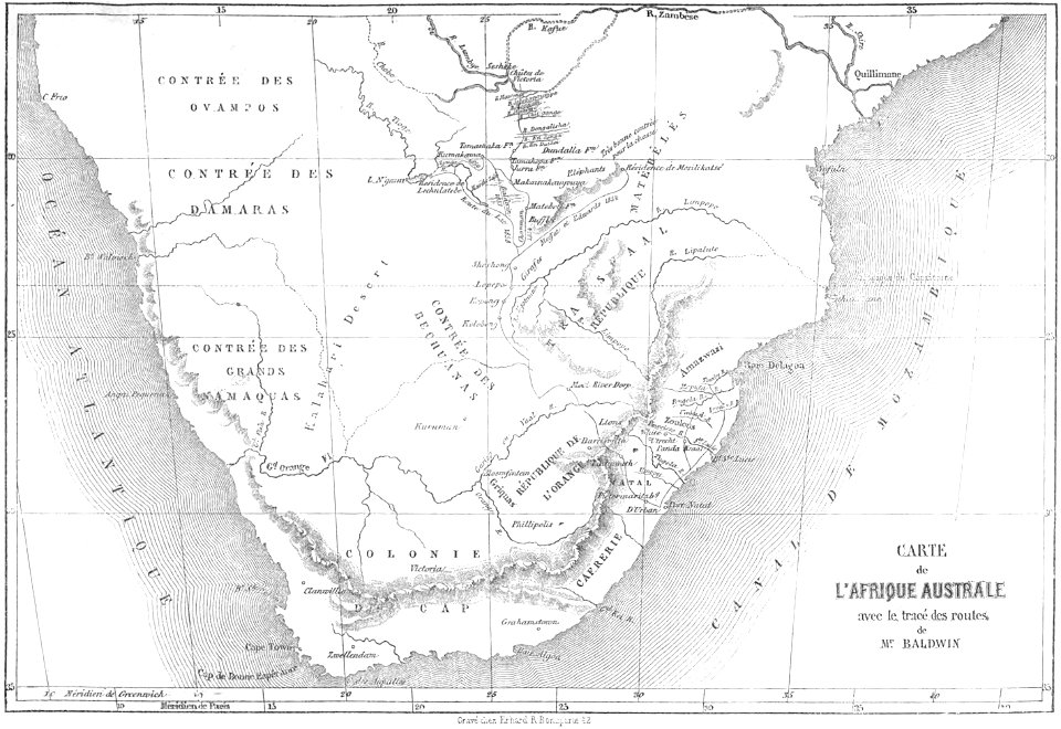
old maps of south africa
illustrations of cosmographia (münster)
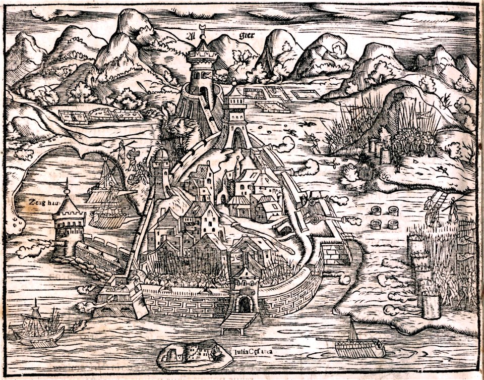
historical images of algiers
files from the bodleian libraries
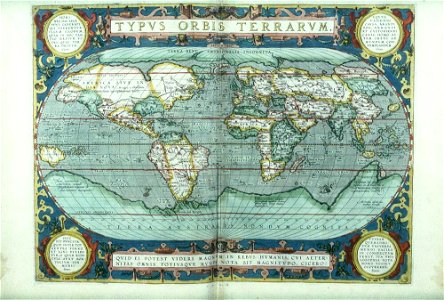
old maps of the world
old maps of the hague
the hague
historical images of minsk
nizki rynak
prints from isaak tirion hedendaegsche historie at the peace palace library
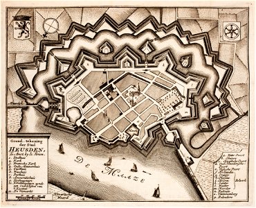
old maps of heusden
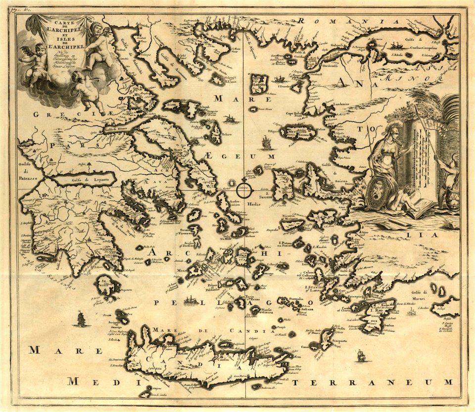
old maps of the aegean sea
harvard university
kutepov's hunting - illustrations (volume 1)
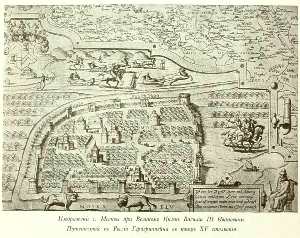
old maps of moscow
russie by jean-marie chopin - caucasus
history of armenia
coats of arms of markgröningen
old maps of markgröningen
river transport in the polish-lithuanian commonwealth
engravings by matthäus merian
geographical illustrations by coronelli
old maps of the peloponnese
dutch 17th-century prints in the rijksmuseum amsterdam
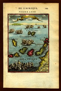
old maps of africa
university of toronto wenceslas hollar digital collection
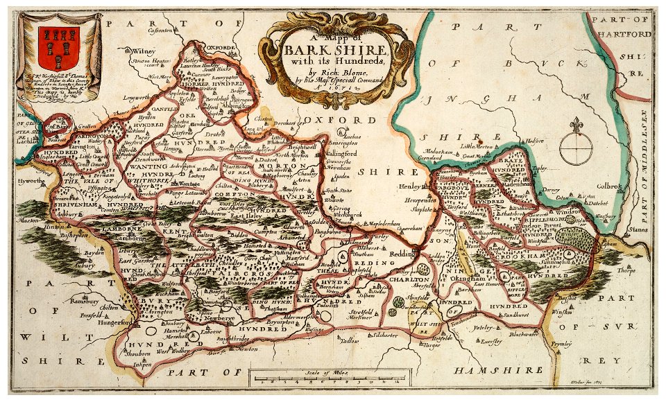
old county maps of berkshire
university of toronto wenceslas hollar digital collection
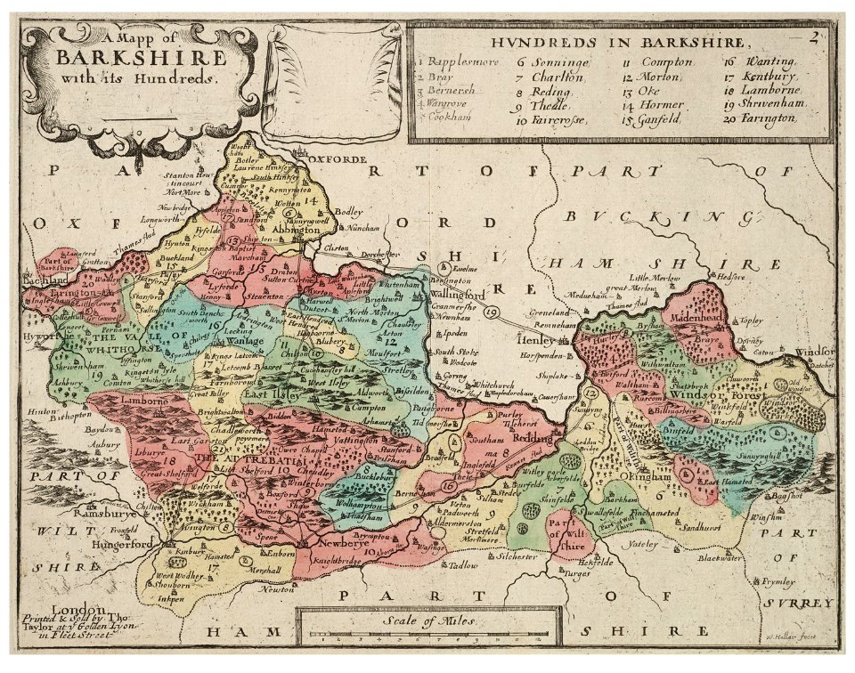
old county maps of berkshire
university of toronto wenceslas hollar digital collection
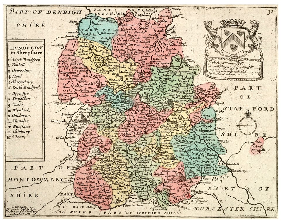
old county maps of shropshire
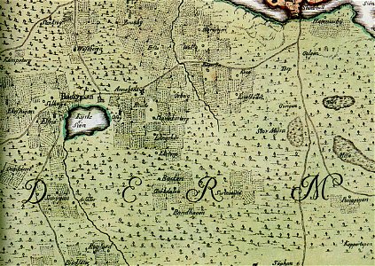
old maps of lower saxony
maps with cartouches
dutch 17th-century prints in the rijksmuseum amsterdam
maps in the rijksmuseum amsterdam
trịnh lords
1718)
maps made in the 17th century
cornelis danckerts (ii)
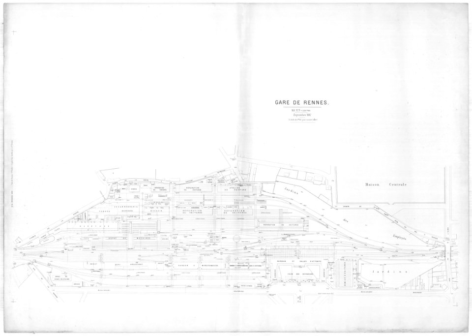
1887 in bretagne
gare de rennes
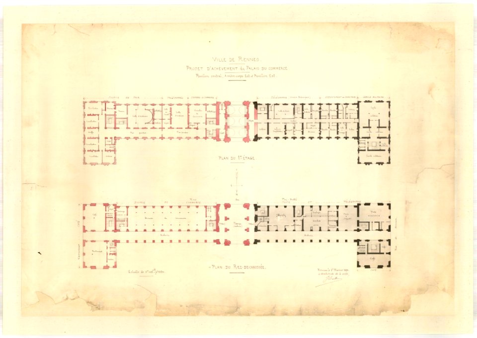
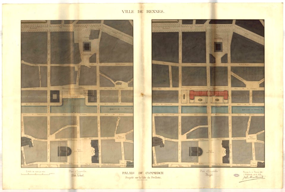
jean-baptiste martenot
rennes in the 1890s
jean-baptiste martenot
rennes in the 1880s
jean-baptiste martenot
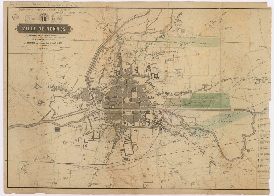
1885 maps
old maps of rennes
gare de rennes
tramway de rennes
1928 in bretagne
prints from manesson travaux de mars at the peace palace library
regular hexagons
atlantis magni tomus tertius (biblioteca comunale di trento)
maps made in the 17th century
maps made in the 17th century
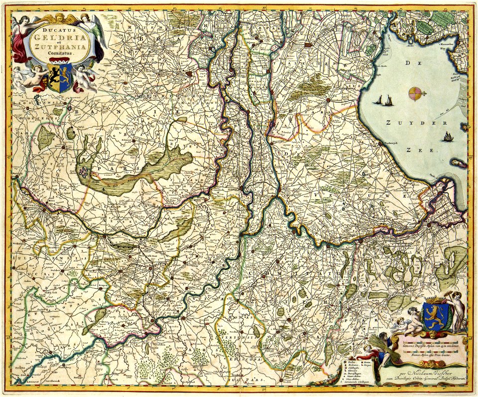
old maps of gelderland
maps made in the 17th century
cornelis danckerts (ii)
hand-drawn maps and views of world war i battlefields by h.m.
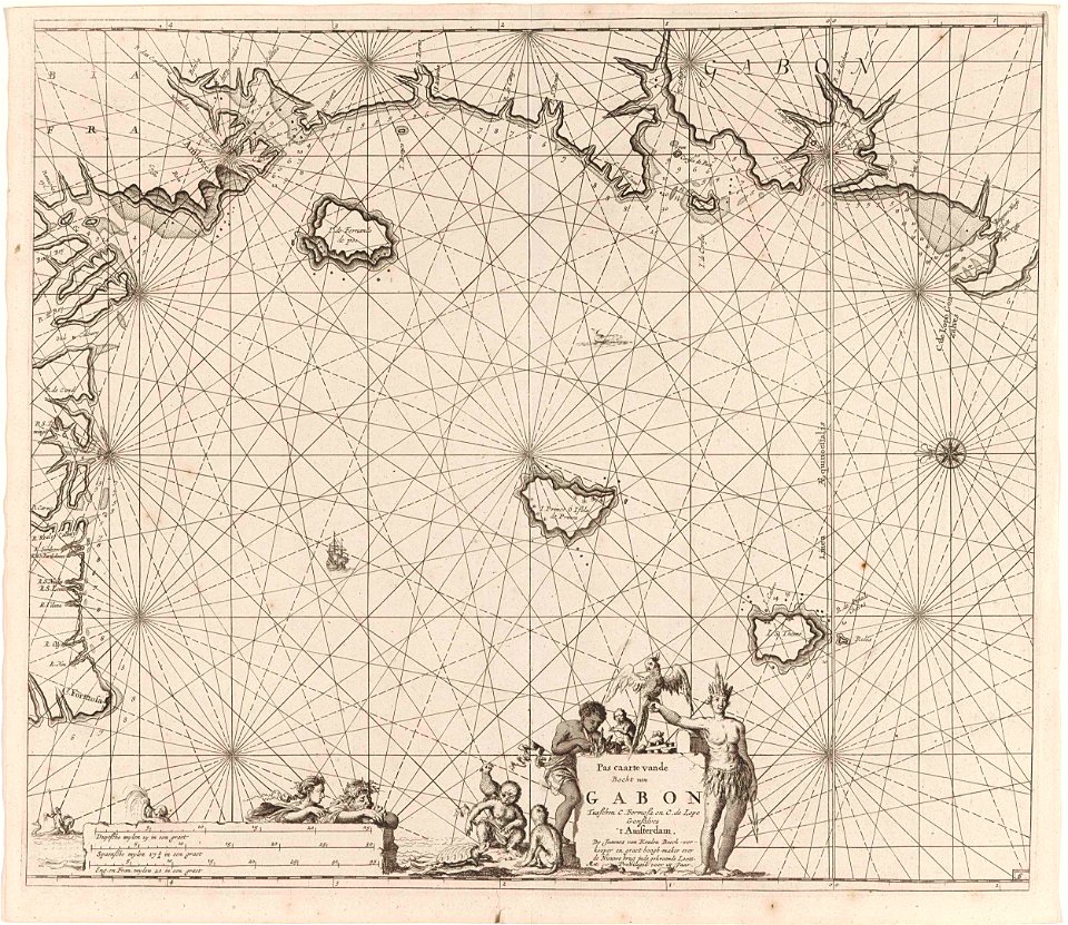
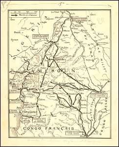
old maps of cameroon
history of hanau
maps of hanau
1867 engravings
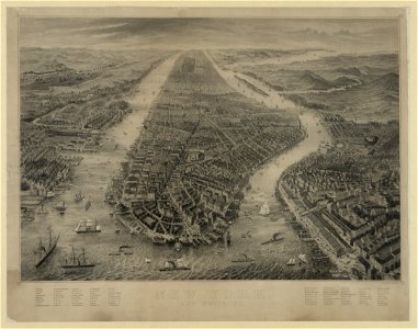
new york city
images from the new york public library
new york city
old maps of rhineland-palatinate
maps made in the 17th century
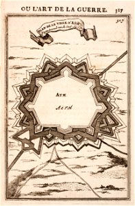
octagons (architecture)
maps of ath city walls
brännkyrka kyrka
älvsjö gård
1790s drawings
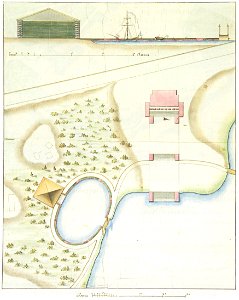
palace park
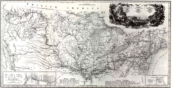
old maps of north america
1843 maps
maps made in the 17th century
netherlands
collections of musée de la compagnie des indes
18th-century maps of indonesia
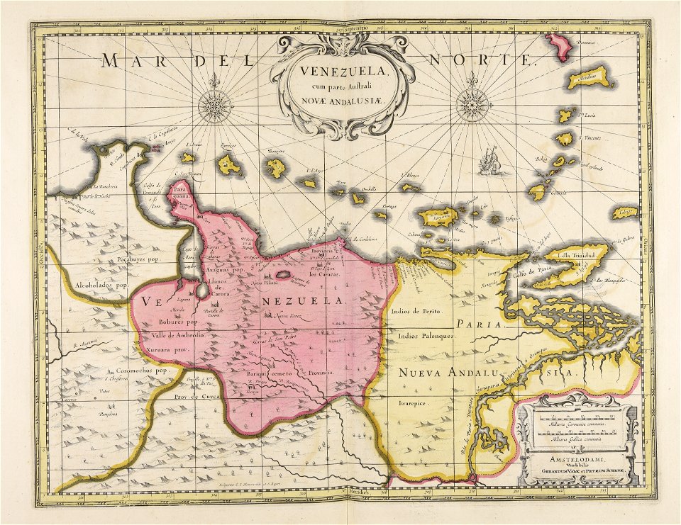
old maps of venezuela
gerard valck
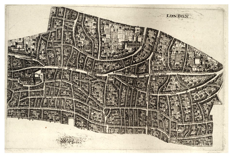
university of toronto wenceslas hollar digital collection
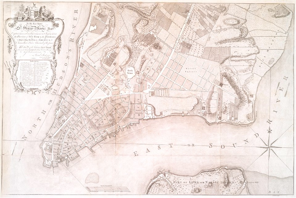
hollar maps and plans of london
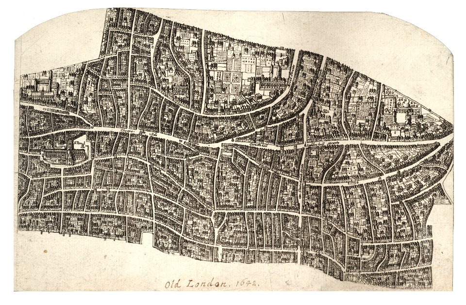
university of toronto wenceslas hollar digital collection
hollar maps and plans of london
3801 - 3900 of 52,119
Next page
/ 522